Abstract
This study was conducted to establishment of agricultural heospatial information based on the drone image and AI (Artificial intelligence) technology, and development of the technology for crop yield. Data for model development were obtained using UAVs in Songsan-ri and Cheongsan-ri, Okcheon-myeon, Haenam-gun, Jeollanam-do, and 179-25, Hanaro 15-gil, Iksan-si, Jeollabuk-do. Based on the SmartFarm map, which is a shape file format that includes geographic information, the parcel unit boundary of the shooting target area was created. A classification & segmentation regression analysis model was applied to develop an analysis model for diagnosing crop growth and predicting quality and yield. The selected rice crop reading and recognition model, U-Net model, was used. Rice reading and cultivation area were calculated by applying the image segmentation method using semantic segmentation technology among image segmentation technologies based on deep learning technology. The learning rate for the learning data built with two classes was 99% for the IoU Score and 0.93 for the mIoU index. In the case of class 3, the IoU Score was 95% and the mIoU index was 0.80. It is necessary to improve the performance of the model by acquiring additional data for crop growth information and field surveys.
Figures & Tables
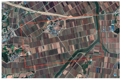
Fig. 1. Drone image acquisition destination on Haenam-gun.